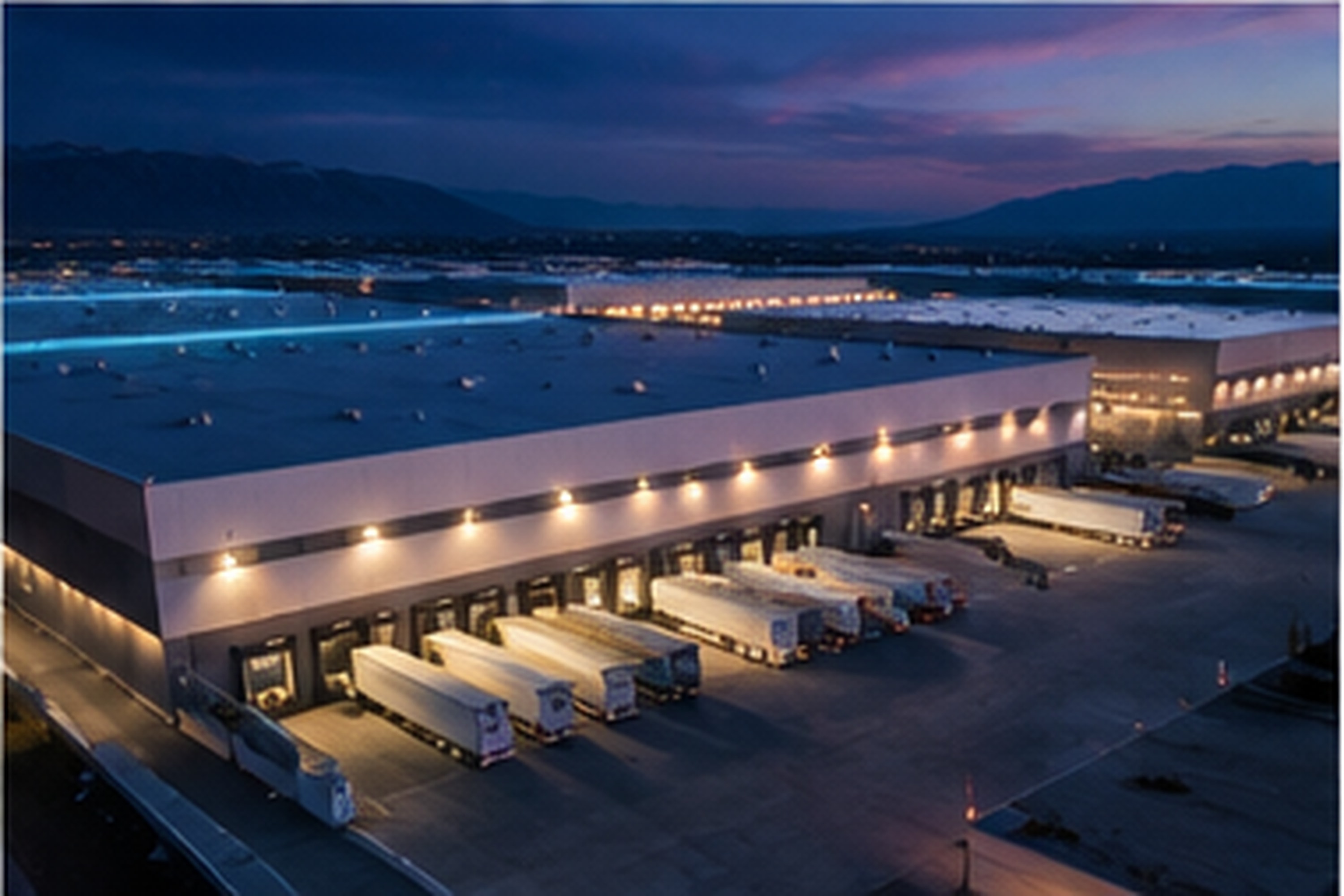
A rail-served industrial campusConnecting Western States
Over 830 acres located in Iron County, Utah, bisected by the Union Pacific Railroad. Planned for diverse industrial uses with access across the Western US.
A Mix of Industry, Across Multiple Uses
Project Juniper provides direct Union Pacific rail access, on-campus power generation, natural gas, water supplied through the Cedar Valley Water Conservancy, and multiple long-haul fiber carriers. Juniper will accommodate, among its multiple industrial uses, data center, advanced manufacturing, rail-served logistics, processing, and industrial agriculture.
Rail-Served Industrial and Logistics
Direct adjacency to the Union Pacific line, with yard and circulation capacity for multiple rail users in Phase 1. Rail-served sites reduce transportation costs and emissions.
Bulk commodity processors · Transload and distribution operators · Energy and materials logistics
Advanced Manufacturing
A balanced load, not the extremes of AI compute or heavy industry. Consistent power quality for precision processes, with fiber, water and gas already integrated.
Semiconductor and electronics · Robotics and automation · Precision component manufacturing
Agri-Industrial
Land, water and power co-located for high-volume production and processing, with flexible layouts and room to expand.
Food processing and packaging · Fertilizer and input production · Controlled environment agriculture
Heavy Power Industrial
Baseload power aligned with continuous operations, scaling from 1-megawatt blocks, with co-located generation and fuel supply.
Hydrogen and e-fuels production · Battery manufacturing · Metals and chemical processing
Data Centers
Drawing on the same on-site generation and fiber, through the Public Infrastructure District, as the rest of the campus rather than on the community's supply.
Colocation platforms · Cloud and compute operators
The Full Detail
Get a comprehensive picture with the full Project Juniper presentation.
Read the Presentation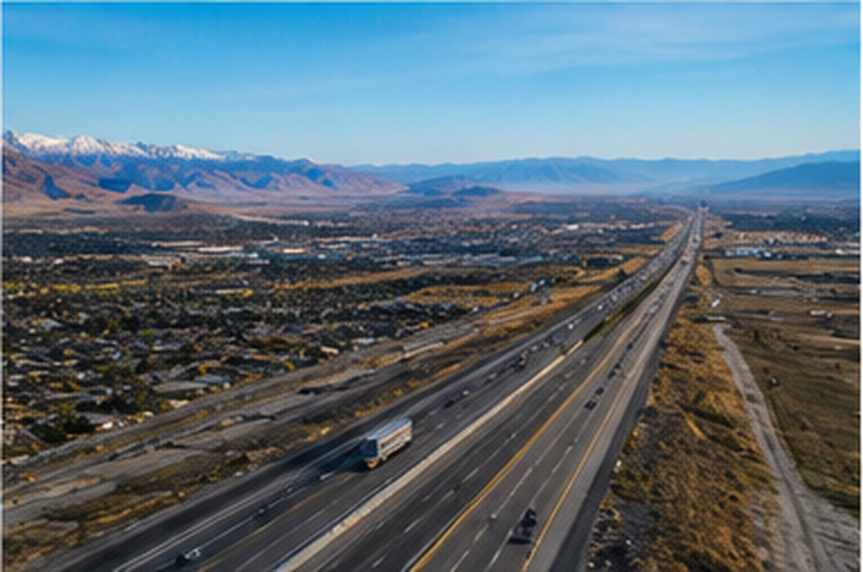
Proximate to Major Markets
The site has direct access to major transportation routes and sits within a day's drive of several Western markets.
Marker shows the approximate center of the study area.
How much water would it use?
Under 200 acre-feet a year at full Phase 1 buildout. Juniper leverages dry cooling and closed-loop cooling rather than evaporative cooling systems for most major industrial cooling; some minor areas may use evaporative cooling on a small scale. Supply comes through the Cedar Valley Water Conservancy's allocation, sourced through the developer's acquisition of water rights and contribution of such water to CVWC. Juniper will also enable CVWC to save material costs on its Pine Valley Water Project through direct contributions to the development of that project bringing 15,000 acre feet of water to the Cedar Valley.
Would it raise my power bill?
Juniper will generate all required electric power on-site, without any demand on the larger grid, through a Public Infrastructure District, providing power to serve customers within Juniper rather than drawing on the community's existing supply. Transmission and distribution built for Juniper itself is paid for by the project, not by ratepayers, and provides an additional access point for surrounding community stakeholders to address their own electric power needs.
What would I see and hear?
Juniper is west of Cedar City, away from residential neighborhoods, and will be inside the county's new strategic development zone. Even with the distance from residential, building heights, lighting, noise limits and setbacks will be addressed directly with the county to ensure community character is not disturbed.
What does the county get?
Iron County benefits from long-term workforce development (industrial positions, technology positions, a multi-year construction workforce) and academic and trades partnerships (Southern Utah University and Southwest Tech) positioning the community as a unique pairing of main street values and innovation. Juniper will fund and develop road, water lines, electric transmission and distribution infrastructure and will make such available, by deed, dedication or otherwise, to Iron County communities. Iron County will have no financial exposure related to the build-out of this public infrastructure. That means no tax increases to residents even where the infrastructure supports significant community development.
Have a Question About the Project?
Send it to the project team. Questions asked often are answered publicly on the Ask a Question page.